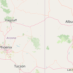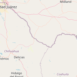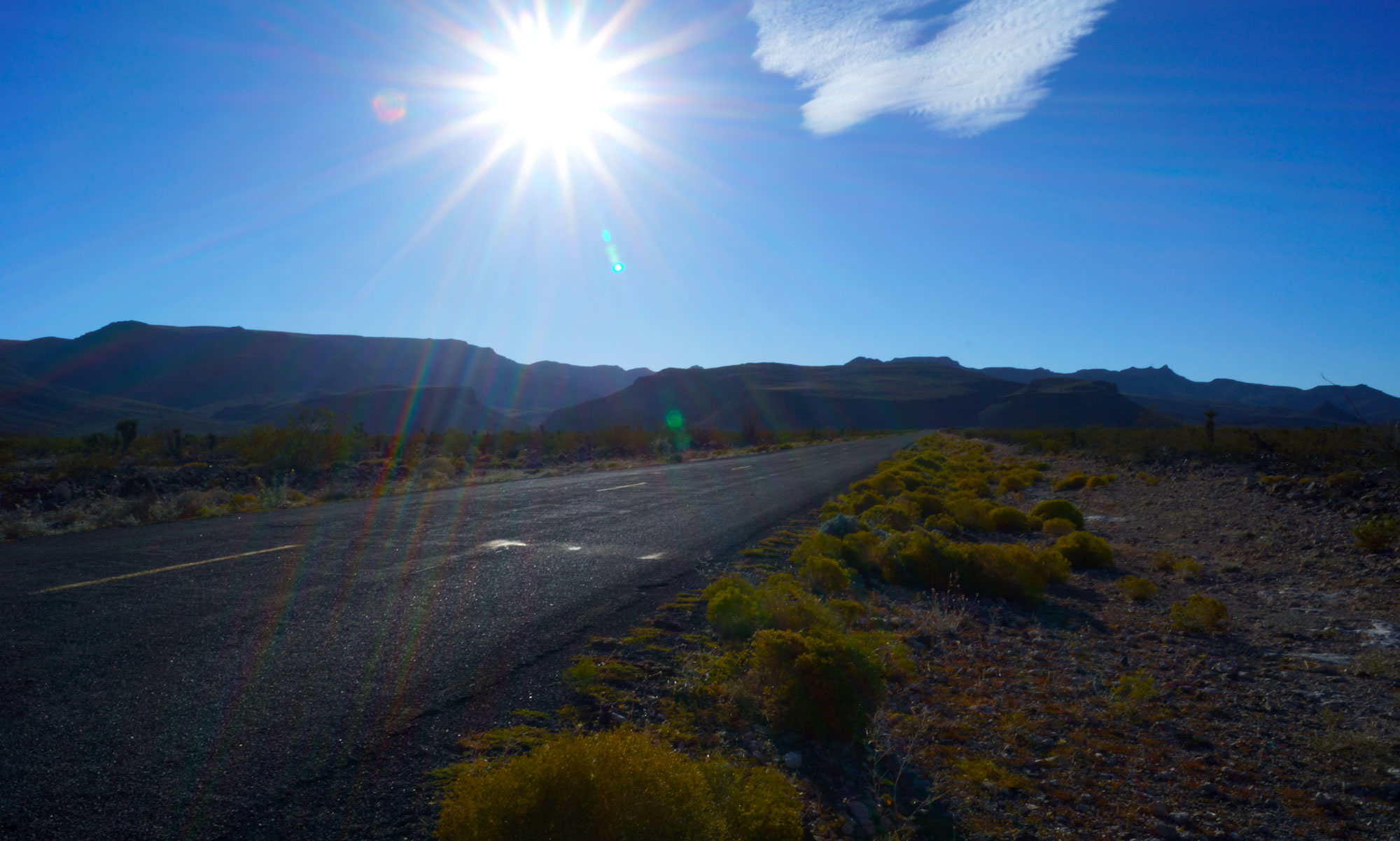
El Camino Real de Tierra Adentro is Spanish for “the royal road of the interior land.” An apt description, this 1,600-mile-long road between Mexico City and San Juan Pueblo, New Mexico was a significant Spanish Imperial and later U.S./Mexico trade route from 1598 to 1882. Its importance faded with the construction of the Santa Fe Railroad. Traversing some of the most arduous territory in the Southwest, the route snaked through deep canyons, sauntered across arid plains, and scrambled up steep mesas on its way to Santa Fe, New Mexico and the Pueblo. The mesas were the most difficult part of the journey; none more feared than La Bajada Mesa. Remote, rugged, imposing, the mesa soars 600 feet above the plains below. Presenting a steep cliff-like face to would-be travelers, ascending (or descending) the mesa required enduring a series of slow, steep switchbacks.

Abandoned by anyone who could afford rail travel in the 1880s, the road lived on as a trade-route for local farmers and Native Americans. The rise of the automobile gave a portion of it a new life. Beginning in the early twentieth century, the portion of the El Camino Real de Tierra Adentro that ran from Santa Fe, New Mexico into Albuquerque was incorporated into the National Old Trails Road. This auto-touring route – a precursor to federal highways – ran from coast to coast following whatever local roads were available. In New Mexico, this put it on portions of the old El Camino Real de Tierra Adentro and right over La Bajada Mesa.
It was here, on the mesa, that early automobile travelers ran into a problem. A Newton-sized problem. Early automobiles relied on gravity to feed fuel to the engine. With fuel tanks mounted higher than the engine, the force of gravity pulled gasoline out of the tank and down to the engine’s carburetor. This system worked adequately – as long as you were on a flat surface.
On a steep ascent, gravity pulled fuel away from the engine causing a stall. With most car manufacturers located in the Midwest, engineering for steep mesas and mountain ranges hadn’t been factored into the equation. Faced with a daunting climb like the one up La Bajada, early automobiles often stalled. Early automobile enthusiasts came up with a unique solution to this problem – driving up the mesa in reverse. This was a daunting task for even the most experienced driver. Enterprising locals soon began offering wary travelers cars reverse hill driving services for a small fee.
It would take until the 1920s for an engineering solution to the problem. The 1920s saw the introduction and widespread adoption of multiple automotive innovations including fully enclosed car bodies, all-steel-construction, safety glass, and four wheel braking systems. One of these innovations was the mechanical fuel pump. Liquid fuel pumps had been around since the mid-1800s, but mostly as large fixed-location devices used in mining or agriculture. Automobile manufacturers adapted this technology by shrinking the pump size and figuring out how to power the it off the rotation of the engine.

Automobile fuel pumps typically consisted of a small bell-shaped housing mounted on the side of the engine near the bottom. The housing contained a chamber where the volume of the chamber was increased or decreased by manipulating a flexible diaphragm. This diaphragm was flexed by a pump arm that was connected on one end to the diaphragm and on the other to a concentric lobe on the engine’s camshaft.
The camshaft was part of the rotating assembly inside the engine. As the engine internal assembly rotated, the lobe on the camshaft rotated moving the pump lever up and down. As the pump lever moved up and down, the volume of the chamber inside the pump increased and decreased. As it increased, it pulled fuel in from the gas tank via the fuel line; as it decreased it pushed fuel to the engine via another fuel line. Gravity was no longer involved. Driving up hills in reverse was no longer necessary.
Modern cars still use fuel pumps. Now they are electric, capable of much higher fuel pressure, and computer controlled. A mechanical fuel pump produced approximately 10-15 PSI of fuel pressure. Modern pumps produce over 200 PSI of pressure. Current cars sprint up mountainsides with nary a shrug. Yet it is doubtful the automobile would have assumed its ubiquitous place in contemporary American society without the adoption of the fuel pump. Images of Model-T Fords driving up La Bajada Mesa in reverse seem quaint. Interstate traffic attempting I-70 west of Denver in reverse would be unworkable.